


Biodiversity Net Gain Support
|
GIS System Integrations
|
Story Maps and Infographics
|
Data Acquisitions
|
Interactive Apps and Dashboards
|
2D and 3D Maps
|
Data Quality and Standards
Biodiversity Net Gain Support | GIS System Integrations | Story Maps and Infographics | Data Acquisitions | Interactive Apps and Dashboards | 2D and 3D Maps | Data Quality and Standards
Our Lastest Company News and Updates
-
![]()
See our Geography in Practice Webinar - hosted by RGS and RICS
Geography in practice: using GIS to survey habitats and measure improvements for biodiversity net gain
-
![]()
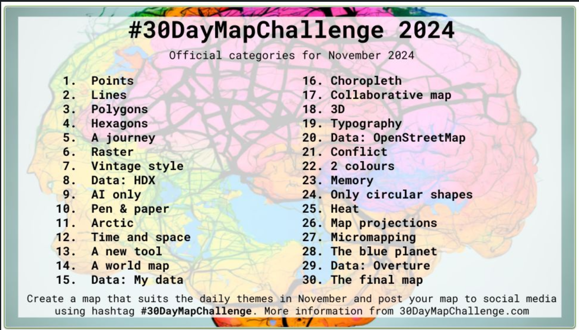
We participated in the 30 Day Map Challenge this November.
Our 30 Day Map Challenge Hub to is designed to highlight the content created as part of the 30 Days Map Challenge. Through themes like human geography, land cover, socio-economic data, and innovative mapping techniques, this challenge explores the vast potential of geographic data and visualisation.
-
![]()
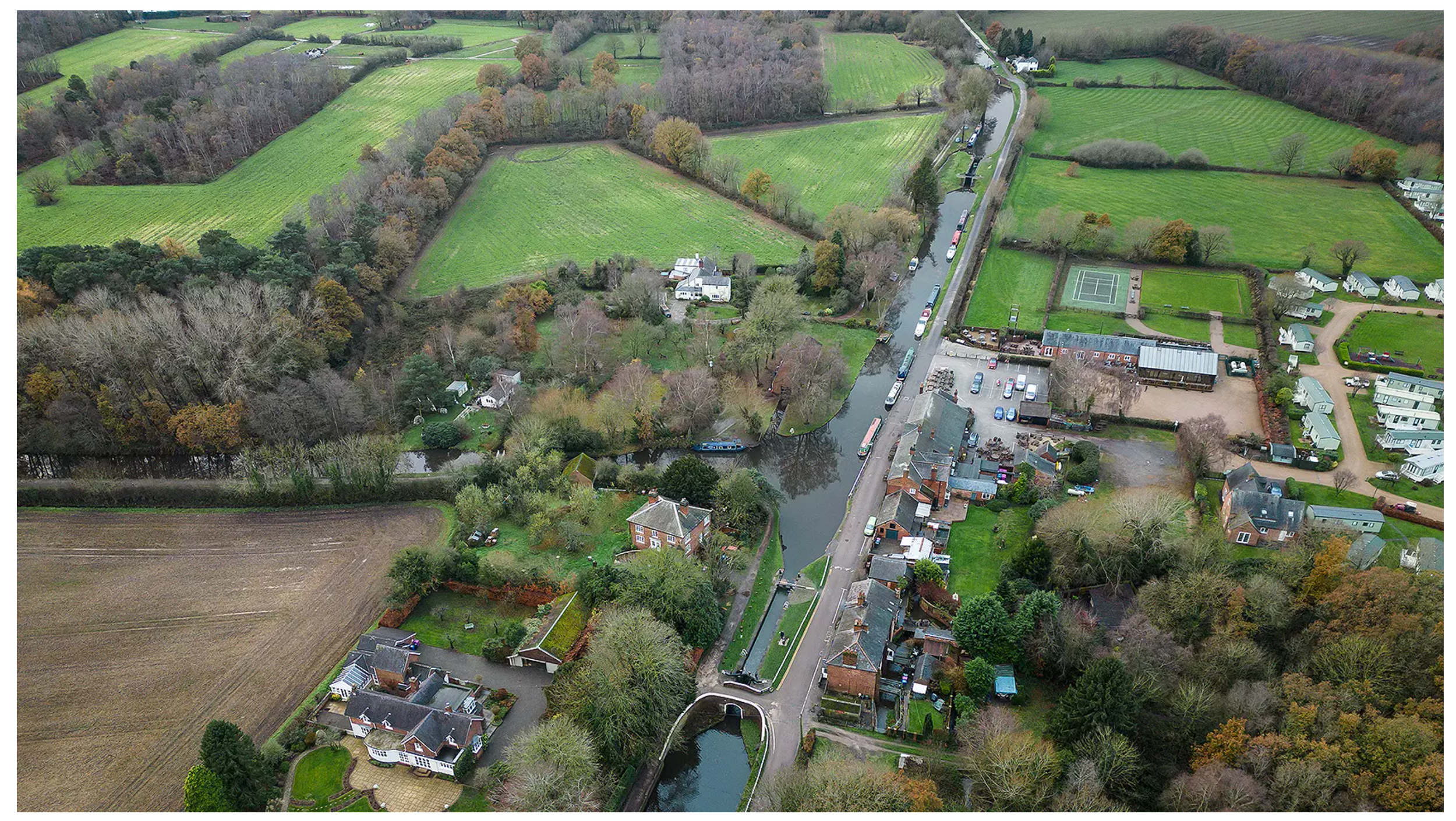
RICS Land Journal Article - Canal and River Trust Uses GIS for BNG
To better understand the habitat it manages and potential for biodiversity net gain, the Canal & River Trust enlisted a data management firm to record baseline measurements and monitor changes
Authors: Dr Katie Dawson & Neil Neigenfind
-
![]()
New Blog - The Obstacles to Using Spatial Data
GIS tech is more accessible than ever, but why are we still dealing with messy data, complex standards, and organisational obstacles?
Authors Dr Katie Dawson & Mavi Santarelli
-
![]()
We Presented at GeoBusiness! Managing biodiversity net gain operations using GIS
This session will give attendees a taste of how GIS was effectively used for data collection, management and storage, and visualisation for administering Biodiversity Net Gain (BNG) at both the data and project levels.
-
![]()
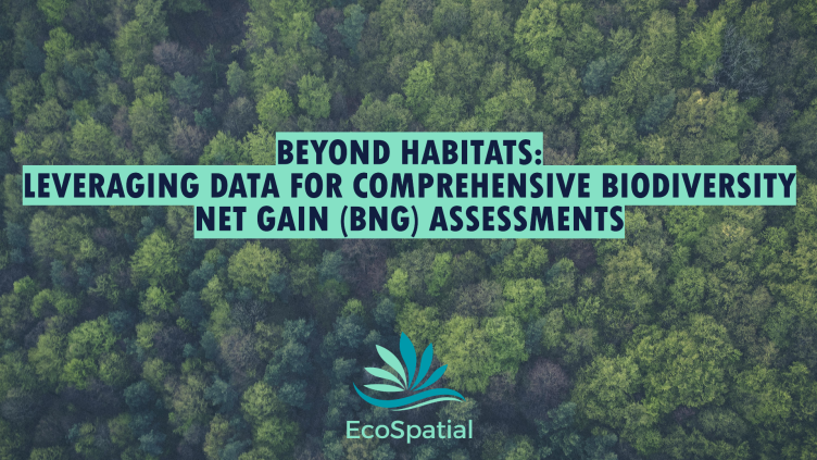
New Blog - Beyond Habitats: Leveraging Data for Comprehensive Biodiversity Net Gain (BNG) Assessments
In our latest article, we explore how incorporating diverse data layers—such as satellite imagery, species observations, topography, and ecological networks—can provide a more complete understanding of biodiversity.
Author: Mavi Santarelli