Data Visualisation
How we can turn your data into information
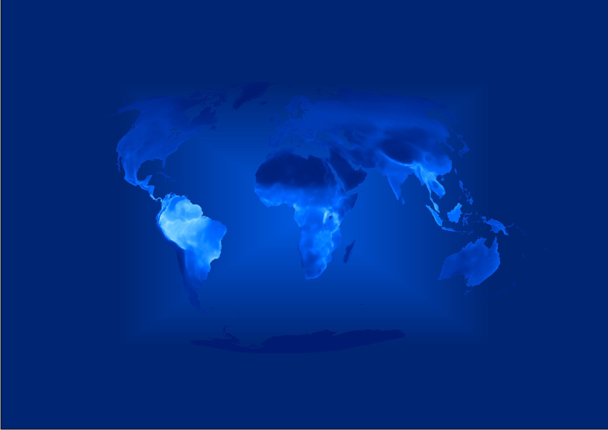
2D & 3D Maps
Our bespoke cutting-edge 2D maps provide precise, visually engaging, and data-rich representations of geographic areas tailored to meet diverse needs. Ideal for urban planning, environmental monitoring, asset management, and more: with customisable layers to deliver actionable insights.
Our 2D maps empower decision-makers to visualize and analyze spatial data with confidence. Experience the power of simplicity and precision.
Explore our 2D mapping offerings in our Map Gallery!
Story Maps
Designed to seamlessly combine maps, multimedia content, and engaging narratives, our Story Maps empower you to tell compelling, location-based stories that inform and inspire.
Perfect for environmental projects, community planning, educational initiatives, and more, our platform allows you to present complex data in a visually intuitive and interactive format. Share your vision, highlight critical insights, and connect with your audience like never before.
Transform your storytelling—explore our Story Maps Gallery!
Interactive Apps & Dashboards
Revolutionise your decision-making with our interactive interactive app and dashboard offering. Combining real-time data visualisation, advanced spatial analysis, and intuitive design, our solution empowers you to explore, monitor, and manage geographic data with ease.
Accessible on any device, our apps and dashboards provide dynamic insights through customisable widgets, filtering, and trend analytics.
Unlock the full potential of your data - view our Interactive apps and dashboards!


